
Block Evidence for Hidalgo County Neighbors
A block search works best when each source has a narrow purpose. ArcGIS can establish which parcels are contiguous. The appraisal and tax layers can provide a property record. The County Clerk can connect a lot or block to a recorded instrument. City programs can identify a civic channel, not its members. For Hidalgo County neighbors, label each finding by source and date instead of collapsing property ownership, occupancy, voter status, and association participation into one answer.
| Source | What It Shows About a Block | Access |
|---|---|---|
| ArcGIS HC_Parcel and HC_Address_Points | Mapped parcels, address-point context, city limits, and layer metadata | Official ArcGIS item search; live neighbor identify controls were not captured |
| HCAD and county tax portal | Appraisal or tax-account clues for an individual parcel | Official property and tax routes; historical coverage is not stated |
| County Clerk plats and deeds | Lot, block, legal description, restrictions, and dated instruments | Official Records Search and historic microfilm route |
| County sample-ballot lookup | Precinct and sample-ballot context for a searched voter record | Name and date-of-birth lookup, not a general contact list |
| City civic programs | Association, leader, project, watch, or event channels | Public program pages, not membership rosters |
An adjacent parcel may be vacant, held by a trust or entity, or represented by a mailing address elsewhere. It is a geographic fact, not proof of a personal relationship or occupancy.
Map a Hidalgo County Block Carefully
The official ArcGIS Hidalgo County item search lists HC_Parcel, HC_Address_Points, city-limit layers, a rural addressing map, and related resources. The HCAD appraisal-map item identifies Planning Department as source and reports data updated June 14, 2022. That metadata date does not promise that every live feature is current. The inspected material did not expose a live identify popup, a neighbor display, print controls, export controls, or a layer refresh schedule.
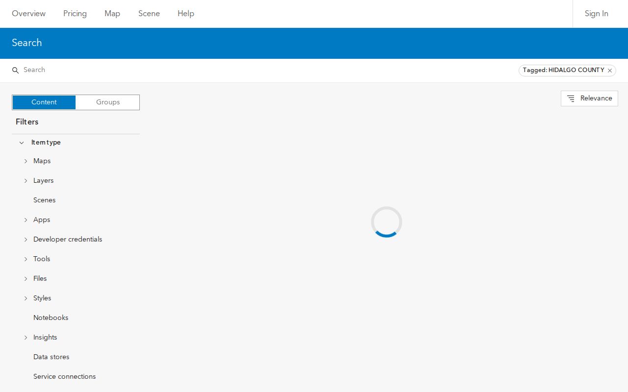
The layer-search capture supports the first step of a block search: identify the official parcel and address resources before checking any person or ownership detail elsewhere.
Block method: target address → address point → target parcel → contiguous parcel IDs or legal descriptions → map layer and date → appraisal, tax, and recorded-instrument checks.
- Locate the target using the address-point layer and identify whether it falls inside a city limit or an unincorporated area.
- Open the parcel layer and record the target parcel's identifier or legal description, plus the layer name and displayed date.
- Record only parcels that physically share a boundary or otherwise meet the map's visible adjacency rule.
- Verify each parcel separately through HCAD, the tax portal, and a deed or plat where a dated owner-of-record question remains.
For a full named-street record chain, use the Hidalgo County street directory rather than stretching a block method across an entire road.
Verify Hidalgo County Neighbor Parcels
The HCAD property-search route is the official appraisal channel named by the county FAQ. Its live field labels and result columns were not text-exposed during research, so they should not be guessed. The county tax portal does document its choices: owner name, property address that starts with a supplied value, account number, CAD reference number, or fiduciary number, with an optional second narrowing step.
These are distinct records. An appraisal field is not a recorded transfer, and a tax account may not match the recording date of a deed. Search the County Clerk Official Records Search by grantor, grantee, subdivision, document type, document number, or date when the parcel needs a recorded instrument. Keep the result's document number, instrument type, recorded date, and legal description with the parcel note.
Note: Do not treat a tax mailing address or a map label as a finding that a person occupies a nearby property.
Limits of a Hidalgo County Neighbor Map
The parcel-and-address approach has a deliberate limitation: the research captured the layer inventory, not a verified live display of a target parcel with nearby properties visible. Record the limitation rather than filling it with assumed buttons or results. The ArcGIS feature-service metadata uses NAD83 Texas South FIPS 4205 feet coordinates, but coordinate information is not an ownership record.
Use city limits to route a records question. If a parcel lies in a municipality, its permits, environmental assessments, or code records are generally city-custodian questions. If it is outside a municipality, the county public-information route may be appropriate. A map point should be checked against the property layers before it is described as a situs address.
The practical correction is simple: a parcel boundary can answer where to look next, but not who belongs to the block.
Hidalgo County Neighbors in Subdivision Records
A subdivision name is a useful geographic search term, not an association list. Search the County Clerk by subdivision name and recorded-date range for plats, declarations or restrictions, amendments, easements, and later conveyances. A plat can connect a street to a lot and block. A recorded restriction can establish a document trail. Neither tells who attends an association meeting or occupies each home.
McAllen's Hidden Grove Estates planning material gives a local cross-reference pattern: a subdivision can point to a County Map Records volume and page as well as deed document numbers. That example is a way to connect a planning packet, map record, and instrument. It is not a universal format for Hidalgo County subdivisions.
Hidalgo County Civic Neighborhood Channels
City programs can reveal where neighborhood activity is organized without exposing household information. The official sources below are useful for identifying a program, a project area, or a public contact route. No official countywide neighborhood-association roster was located, and none of these channels should be treated as a member directory.
| Channel | Verified public role | Roster status |
|---|---|---|
| McAllen Neighborhood Matching Grant | Supports eligible neighborhood or homeowner association projects within city limits | Named annual-report examples exist, but a current complete roster was not located |
| McAllen Project Clean Neighborhoods | Allows an association or neighborhood leader to seek a cleanup | An association is not required; signatures are not public resident data |
| Edinburg Neighborhood Watch | Uses block captains, meetings, and Community Policing contact | No public member directory located |
| Mission community policing | Describes resident organizations, block parties, and public events | No named association roster located |
Search municipal planning, police, or subdivision packets by city and project name when a block has a municipal clue. Do not infer a household's participation from its address.
Note: Program participation can establish a public civic route, but it does not reveal current household membership or private contact details.
McAllen Grants and Hidalgo County Neighbors
The McAllen Neighborhood Matching Grant gives a concrete civic route. Eligible neighborhood or homeowner associations inside city limits must represent a geographic area and propose a public-right-of-way benefit. The program uses an equal match from $1,000 to $5,000. Annual-report examples include The Rocks Neighborhood Association and Villa Norte Homeowner's Association, but those examples do not create a current or complete roster.
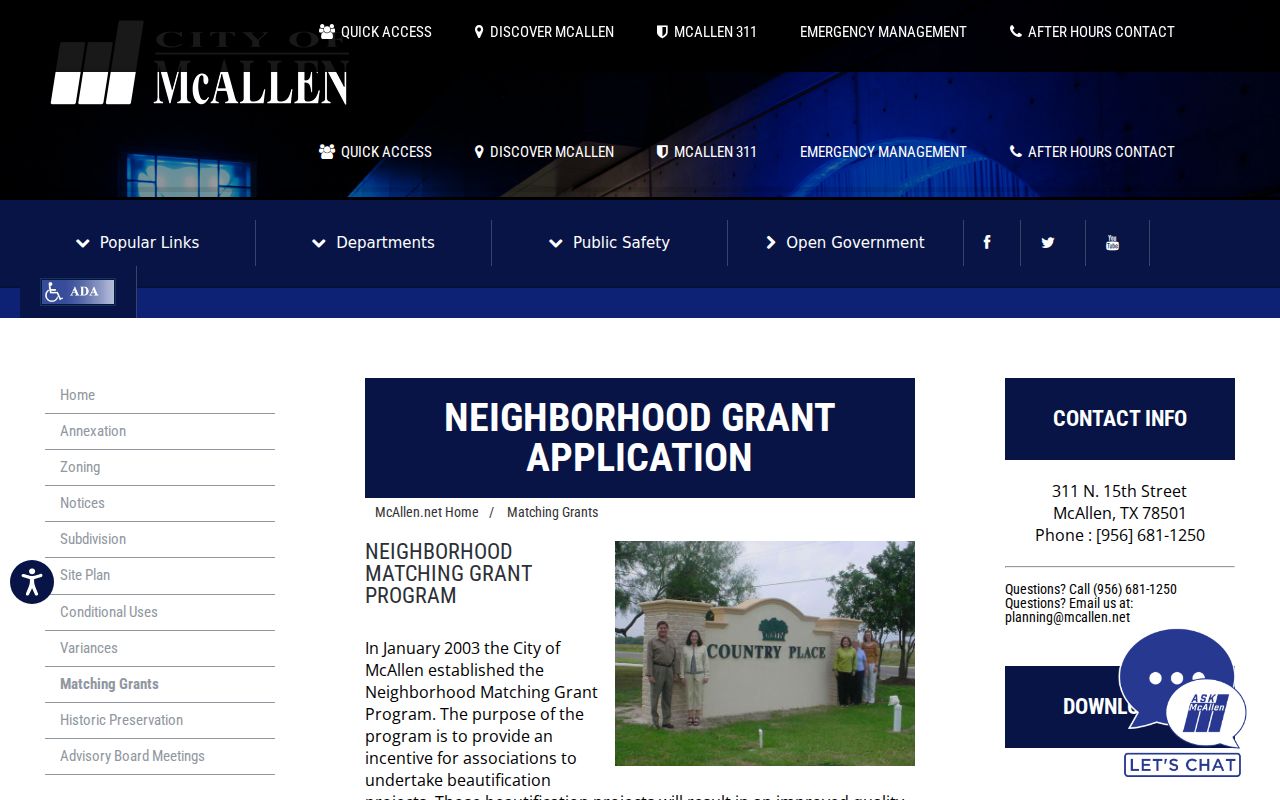
The program page is best used to identify a public civic channel or a named subdivision lead. It does not identify the people who live in, belong to, or lead every nearby household.
Project Clean Neighborhoods offers a second route: one cleanup per neighborhood each year, a request from an association or neighborhood leader, and 15 signatures. McAllen says an association is not required because assistance is available to form one.
Edinburg and Mission Neighbor Programs
Edinburg's Neighborhood Watch program asks residents to recruit people on the block, contact Community Policing, designate block captains, and hold at least three meetings annually. That is a public participation route, not proof that a given address is in a watch group. For City of Edinburg property-maintenance, zoning, sanitation, or nuisance questions, the city code-enforcement channel is the custodian rather than the County Clerk.
Mission's Community Oriented Policing Services describes neighborhood organizations, block parties, safety and health fairs, and resident involvement. It supplies a civic starting point for Mission, but the research found no public organization roster. Where records point to a municipal program, preserve the municipality, project, date, and source page together.
Note: A city program can identify a local contact path without confirming that a particular parcel participates in it.
Official Sources for Hidalgo County Neighbors
Official public records and commercial neighbor-finding products answer different questions. The official route identifies the custodian and provides a dated parcel, account, or instrument trail that can be checked. Commercial category tools may combine data from many dates and sources, often without showing the underlying record. A block result should always be returned to the responsible government or institutional source for verification.
| Official record route | Commercial compiled category |
|---|---|
| States the responsible custodian, record type, and access path | May combine sources with unclear dates or provenance |
| Can distinguish parcel, tax account, deed, and civic program | Can blur ownership, occupancy, and personal association |
| Lets the reader retain a document number, map date, or program page | May not expose the underlying record needed to correct a mismatch |
Privacy Limits for Hidalgo County Neighbors
The County Sample Ballot Lookup uses first name, last name, and date-of-birth selectors to return precinct and sample-ballot context. It is not a complete public voter file or a general contact list. Texas rules also protect Social Security numbers, driver-license numbers, and personal identification numbers, and some voters may suppress web display. Do not publish dates of birth or voter identifiers merely because a statute describes limited fields as public.
Texas address-confidentiality rules can omit an eligible residence, and the DPS Address Confidentiality Program uses a substitute address and mail forwarding for qualifying participants. Do not triangulate an omitted location through a deed, tax account, directory, voter record, or map. A public source can be open for a narrow purpose while still requiring restraint.
Lawful use. Use Hidalgo County block records for civic awareness, a property question, or a respectful neighborhood connection. Do not use them to surveil, harass, intimidate, or harm any person.